





Se promener à Grimaud
Grimaud reunit sur une meme commune un vieux village de hauteur, un chateau, une plaine viticole, des canaux et une ouverture tres directe vers la mer.
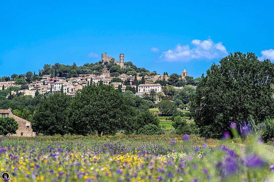
Grimaud ne se laisse pas enfermer dans une seule image. Le vieux village perché en donne la silhouette la plus connue, mais la commune descend jusqu'au golfe, traverse la plaine, touche des plages et comprend Port Grimaud. Cette amplitude géographique explique pourquoi la promenade change d'échelle à mesure que l'on s'éloigne du château.
Le cœur du sujet reste pourtant simple: Grimaud tient ensemble un patrimoine médiéval, un grand paysage agricole, une culture artisanale et une part plus récente d'urbanisme littoral. Pour bien la lire, il faut accepter cette succession plutôt que chercher une seule carte postale.
Le village ancien, le chateau et les ruelles
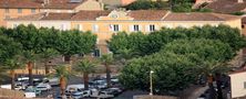
Le noyau ancien garde des rues serrées, des maisons hautes, des passages voûtés, des fontaines, des chapelles et l'église Saint-Michel. La montée vers le château donne le meilleur résumé du site: une implantation de hauteur, des vues larges et un bâti qui s'est longtemps concentré dans un périmètre restreint.
Les ruines du château rappellent le rôle de contrôle du relief. Depuis les hauteurs, on lit la plaine, les secteurs littoraux et les routes du golfe. Dans le village même, le musée du Patrimoine et la présence régulière d'artistes ou d'artisans prolongent cette mémoire sans la figer.
Une commune qui descend jusqu'a la mer
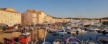
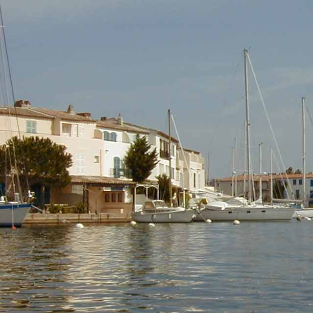
Autour du vieux bourg, le paysage se desserre. Hameaux, bois, vignobles et terres ouvertes accompagnent la descente vers la plaine. Puis viennent les secteurs littoraux, les plages et Port Grimaud, cité lacustre née au XXe siècle sur les canaux et devenue à son tour un repère majeur de la commune.
Cette coexistence entre village médiéval et urbanisme portuaire récent ne crée pas une contradiction, mais un contraste. Grimaud montre comment un territoire du golfe a pu garder une assise historique tout en développant une autre façade tournée vers l'eau, la plaisance et les vacances.
Geographie, geologie et paysages d'eau
Grimaud est installée entre le rebord du massif des Maures et une plaine alluviale plus ouverte. Le contraste se voit nettement entre le village accroché à la pente et les secteurs bas, plus souples, où circulent l'eau, les routes et les canaux. Cette double assise explique le passage très rapide d'un paysage de pierre à un paysage de marais aménagés, de sable et de berges.
La géologie régionale donne aux hauteurs des sols plus secs et plus pauvres, favorables aux bois, aux murets et aux implantations défensives. En bas, la présence de l'eau modifie tout: cultures, jardins, milieux humides et lecture du relief. On comprend alors que Grimaud est aussi une commune d'articulation entre colline et plaine.
Botanique, vigne et cultures locales
La vigne reste l'un des grands fils conducteurs du territoire. Elle accompagne les transitions entre village, hameaux et plaine. Autour, le maquis, les pins, les chênes, les jardins privés et les alignements végétaux de Port Grimaud composent un paysage moins uniforme qu'il n'y paraît au premier regard.
Cette variété s'accompagne d'une culture locale faite de marchés, d'artisans, d'artistes et de produits du terroir. À Grimaud, le patrimoine bâti n'est pas séparé du paysage cultivé; les deux tiennent ensemble et expliquent une bonne part de l'identité communale.
Comment organiser la promenade
Le plus clair est de commencer tôt dans le vieux village, de monter au château, puis d'élargir selon le temps disponible vers les vignes, les secteurs de plaine ou Port Grimaud. Cet ordre aide à comprendre la commune du haut vers le bas, du plus ancien vers le plus récent.
Hors haute saison, les écarts entre les ambiances deviennent beaucoup plus lisibles. Le village reprend sa respiration, les canaux se lisent plus calmement et les liens entre patrimoine, géographie et paysages cultivés ressortent mieux.
Après Grimaud, on peut gagner Sainte-Maxime pour lire l’autre rive du golfe, ou revenir à la page consacrée aux villages du golfe de Saint-Tropez pour préparer une boucle plus large.