






Se promener au Plan-de-la-Tour
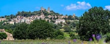
Le Plan-de-la-Tour garde un rythme rural tres lisible: un ancien habitat fortifie, vingt-cinq hameaux, des places ombragees, des vignes, des forets de pins et des roches granitiques bleutees.
Le Plan-de-la-Tour ne cherche pas l'effet spectaculaire. C'est un village qui tient par son équilibre: un centre encore simple, des places sous les platanes, des fontaines, des hameaux dispersés, des vignes et des bois qui prennent vite le relais hors du bourg. À cette mesure calme répond un grand paysage que l'on découvre peu à peu.
La commune appartient pleinement au golfe, mais elle en montre la version la plus terrienne. Ici, la promenade parle d'abord d'habitat rural, de chemins, de sociabilité villageoise et de collines. C'est un territoire qu'il faut lire sans empressement, en laissant apparaître les continuités entre le centre et ses marges.
Un ancien habitat fortifie devenu village de places
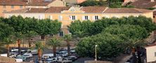
Le Plan-de-la-Tour a gardé la mémoire d'un ancien habitat fortifié, mais le bourg d'aujourd'hui se lit surtout par ses places, ses rues courtes et ses repères de proximité. L'église Saint-Pierre-Saint-Martin, les fontaines, l'ancienne école devenue mairie et les parcours de découverte donnent au centre une structure claire, facile à saisir à pied.
Cette simplicité ne signifie pas pauvreté patrimoniale. Elle montre au contraire un village qui a gardé une échelle juste, où les bâtiments civils, religieux et domestiques restent dans le même registre de sobriété. Le patrimoine du Plan se lit dans l'ensemble plutôt que dans un édifice isolé.
Vingt-cinq hameaux et un paysage eparpille
L'une des particularités fortes de la commune tient à ses vingt-cinq hameaux disséminés dans les collines. Cette dispersion élargit immédiatement la lecture du territoire. Le village ne concentre pas tout; il dialogue avec un semis d'occupations plus discrètes, parfois anciennes, qui rappellent une longue histoire d'habitat rural.
Les chemins de campagne, les petites routes, les lisières de vigne et les secteurs de randonnée montrent ce tissu élargi. On comprend alors que Le Plan-de-la-Tour ne se visite pas seulement par un centre, mais par une relation permanente entre bourg, hameaux, terres ouvertes et collines.
Geographie, granite bleu et forets des Maures
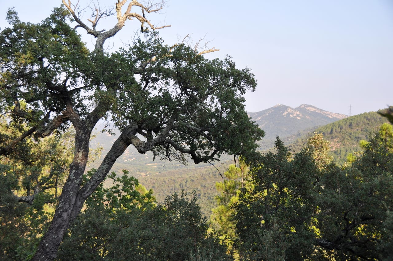
Le paysage communal se situe dans le massif des Maures et en garde plusieurs signes nets: collines boisées, relief souple mais omniprésent, vues qui s'ouvrent par paliers et présence de roches granitiques bleutées sur certains secteurs. Cette matière donne au territoire une assise plus minérale qu'on ne l'imagine depuis les seules places du centre.
Les forêts de pins et de chênes, les restanques, les vignes et les chemins ruraux prennent appui sur cette base. La géologie ne sert donc pas seulement à décrire le sous-sol; elle explique aussi la forme des chemins, l'implantation des hameaux et la manière dont le paysage conserve sa lisibilité.
Botanique, vigne et rythme rural
Autour du village, la vigne joue un rôle majeur, accompagnée des chênes, des pins, de la flore sèche des bords de chemin et d'une végétation de haies ou de jardins dans le centre. Cette botanique donne au Plan-de-la-Tour une palette plus douce que les grands rivages du golfe, mais non moins méditerranéenne.
Elle s'accompagne d'un rythme de vie marqué par les marchés, les places d'ombre, les fêtes locales et les départs de promenade. Ici, la culture du village tient beaucoup à cette manière de rester habité hors saison, avec une continuité entre productions locales, sociabilité et paysage cultivé.
Comment le parcourir aujourd'hui
Le plus cohérent est de commencer par la boucle patrimoniale du centre, puis d'élargir vers un sentier, un hameau ou une hauteur. Cette progression permet de sentir le passage du village serré à l'espace plus dispersé des collines.
Hors été, Le Plan-de-la-Tour gagne encore en justesse. Les places reprennent leur calme, les hameaux se lisent mieux, les vignes retrouvent leur présence et l'on voit plus clairement comment géographie, botanique et patrimoine de proximité composent la commune.
Après Le Plan-de-la-Tour, on peut rejoindre La Garde-Freinet pour retrouver un relief plus marqué, ou revenir à la page des villages du golfe.