A gulf that is larger than Saint-Tropez
The name Saint-Tropez naturally draws most of the attention, yet the gulf is much larger than one town. It brings together twelve communes: Saint-Tropez, Sainte-Maxime, Ramatuelle, Gassin, Grimaud, Cogolin, La Croix-Valmer, Cavalaire-sur-Mer, La Garde-Freinet, La Môle, Le Plan-de-la-Tour and Le Rayol-Canadel-sur-Mer. Some are defined first by the sea, others by an old village, vineyards or their place within the Maures massif.
That diversity explains why the gulf cannot be visited like a single resort. Distances look short on a map, but changes in relief, traffic and atmosphere happen quickly. In the span of one day, you can move from a crowded quay to a quiet square under plane trees, then to a road lined with pines, cork oaks and stone walls.
Geographic and geological landmarks
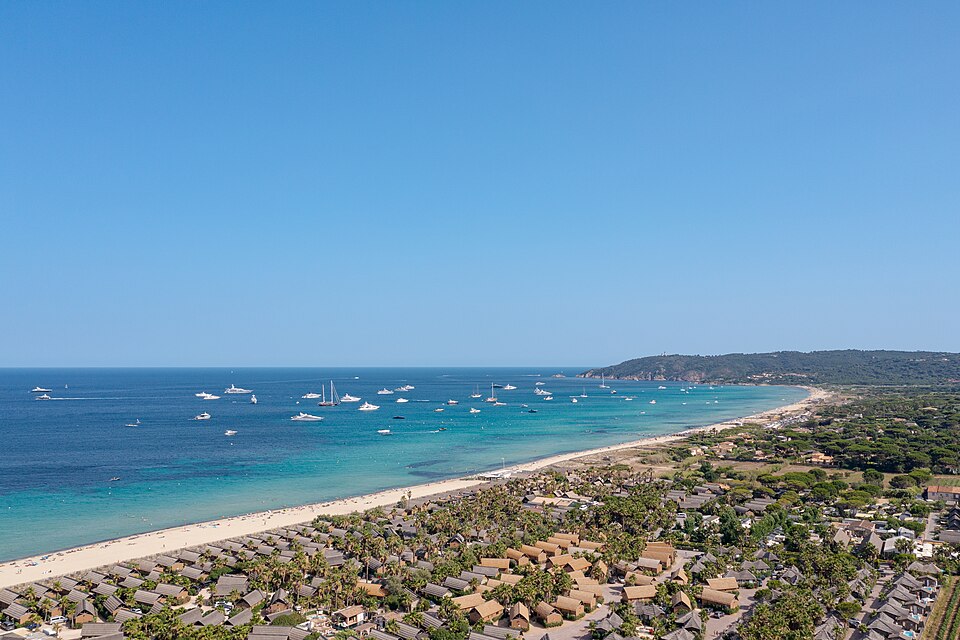
Administratively, the gulf now matches the territory of the Golfe de Saint-Tropez community authority. Figures published by the intercommunal body and updated on July 17, 2025 give a clearer scale: 430 km², 58,500 permanent residents, around 140,000 people present on average, 103 km of coastline, 44 beaches and nearly 268 km² of forest.
These figures help when reading the landscape. The shoreline remains highly visible, but it does not summarize the territory. Roads, DFCI fire tracks, short watercourses, valleys and wooded areas all shape the way you move through it and the way the communes divide themselves between sea, plain and inland hills.
Geology also matters here. The Massif des Maures rests on an old metamorphic bedrock dominated by schists, gneiss and quartzites. That creates short slopes, rather acidic and lean soils, narrow valleys and a rougher relief than the quays or beaches might suggest at first glance.
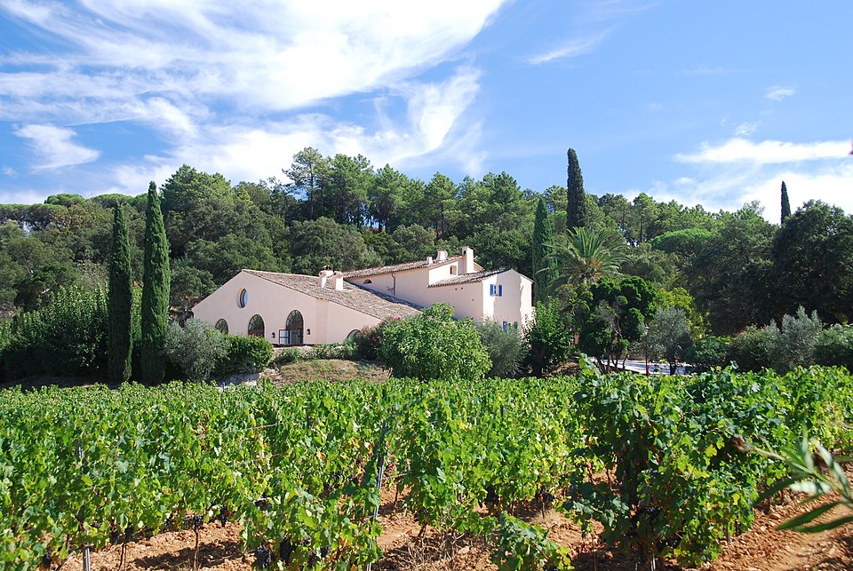
This foundation partly explains the vegetation, the siting of villages and even the palette of colours. Cork oaks, pines, scrubland, vineyards and stone walls are not placed at random: they respond to exposure, rock, available water and the proximity of the sea.
Communes with very different roles
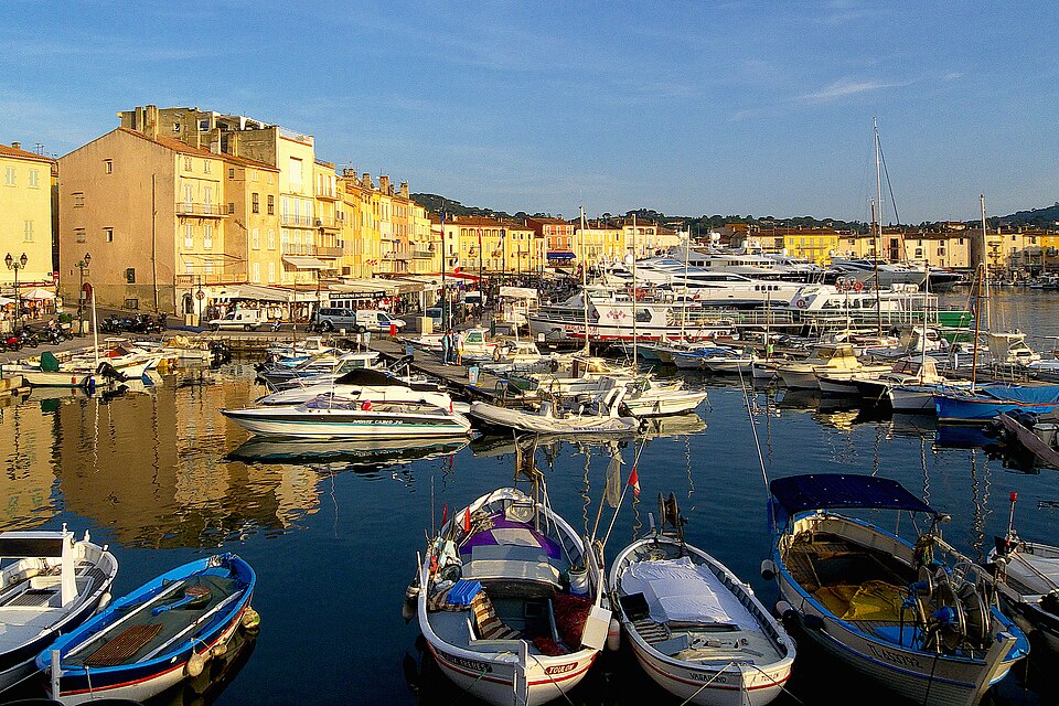
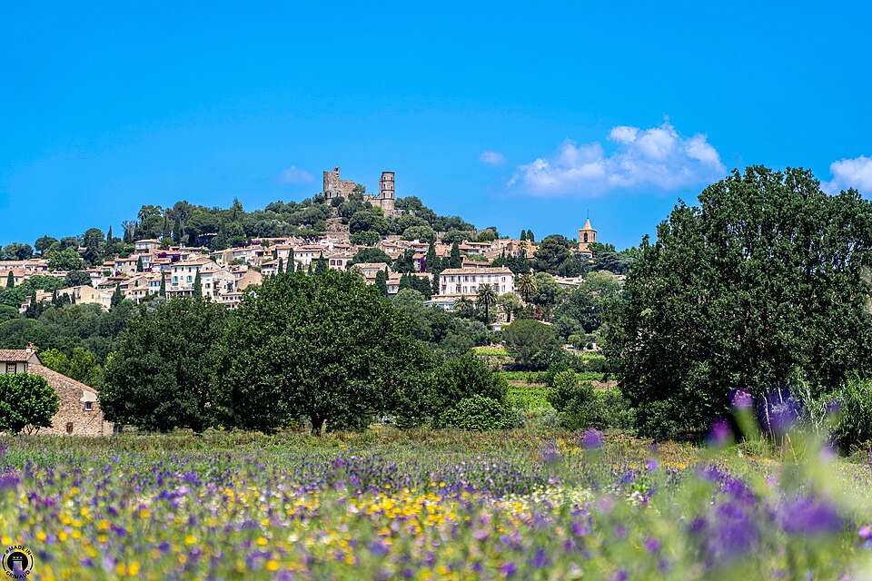
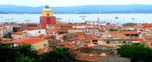
Saint-Tropez and Sainte-Maxime face the sea directly and gather a large share of arrivals, harbors and services. Ramatuelle, Gassin and Grimaud are better understood from their heights, their narrow streets and their views across the plain. Cogolin links the inland area to the coast. Farther from the quays, La Garde-Freinet, La Môle and Le Plan-de-la-Tour give another measure of the gulf, more wooded, more rural and often quieter.
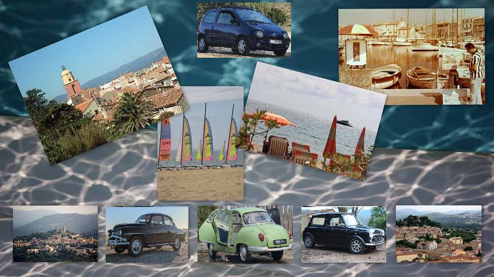
That contrast is what holds the territory together. Beaches, marinas and seafront facades do not cancel out vineyards, valleys or hill villages. To understand the gulf, it helps to accept these passages from one world to another instead of looking for a single postcard image that would sum up everything.
What you actually notice when you explore it
A walk through the gulf is rarely uniform. Along the coast, you first read ports, beaches, breakwaters, rocky headlands and roads that become heavily used as the season advances. Inland, the landscape tightens: terraces, dry slopes, vineyard plots, umbrella pines, cork oaks and lower houses take over.
The gulf then becomes more concrete. You notice the way villages sit above the plain, how views open and close around bends in the road, and how markets, small shops, hillside paths and access to the sea all shape daily movement. It is a territory best discovered slowly, because its interest lies not only in the well-known spots but in the transitions between them.
Timing changes the visit
In the gulf, timing matters almost as much as destination. In summer, the main roads fill up quickly in the middle of the day, especially around coastal access points. Trying to cross several communes at the same time often reduces the visit to traffic itself. It is usually better to choose one sector, leave early, or keep hill villages and inland stretches for the busiest hours on the waterfront.
Outside the peak season, the territory changes noticeably. Distances feel shorter, old centers recover a clearer rhythm and viewpoints connect more naturally. The gulf does not lose its character; it simply becomes easier to understand.
What stays with you
Walking around the Gulf of Saint-Tropez means moving through a small but highly varied territory where the sea does not explain everything. Relief, villages, roads and seasons matter just as much as beaches and harbors. Keeping that in mind usually leads to a better visit: less hurried, more attentive and often more rewarding than the expected postcard version.